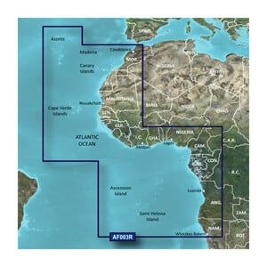
Garmin microSD™/SD™ card: VAF003R-Western Africa
Our Premium Chart Offering
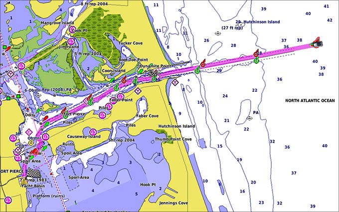
- Derived from official charts and private sources to provide navigational aids, spot soundings, depth contours, tides and currents, and detailed harbors and marinas
- Garmin Auto Guidance technology shows a suggested route to a destination¹
- Depth Range Shading for up to 10 depth ranges enables you to view your target depth at a glance
- Up to 1-foot contours provide a more accurate depiction of the bottom structure for improved fishing charts and navigation
- Shallow Water Shading feature allows for depth shading at a user-defined level to aid in navigation
- Unique 3D views like MarinerEye and FishEye provide additional perspective both above and below the water line
- High-resolution satellite imagery of ports, marinas, bridges and navigational landmarks for superior situational awareness
- Worldwide coverage available
- Keep your charts up to date with our industry-leading New Chart Guarantee and discount card update program
Auto Guidance¹
Auto Guidance technology quickly calculates a suggested route using your boat's dimensions and a suggested path to follow.
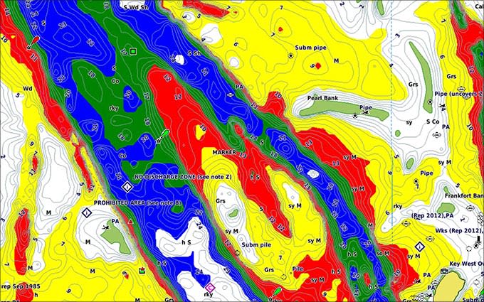
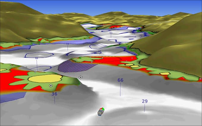
Depth Range Shading
Displays high-resolution Depth Range Shading for up to 10 depth ranges so you can view your designated target depth.
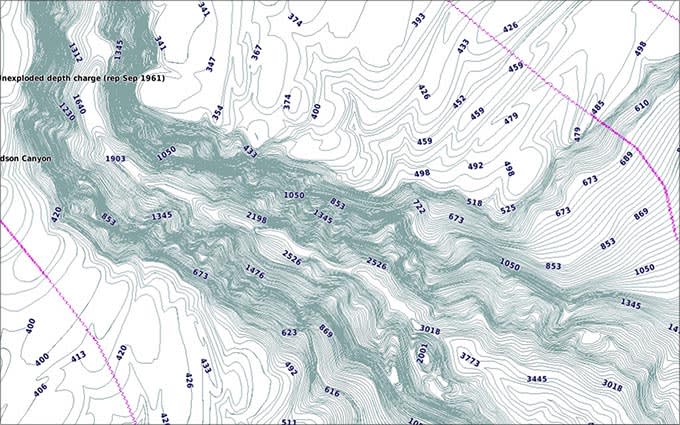
Detailed Contours
BlueChart g2 Vision HD features 1-foot contours that provide a more accurate depiction of bottom structure for improved fishing charts and enhanced detail in swamps, canals and port plans.
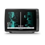
MarinerEye View
Provides a 3-D representation of the ocean floor as seen from below the waterline.
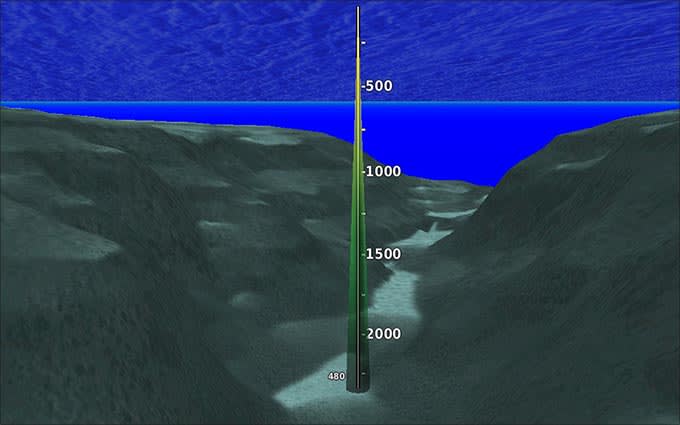
FishEye View
Provides a 3-D representation of the surrounding area both above and below the waterline.
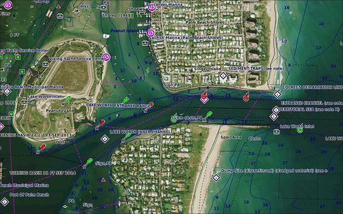
High-resolution Satellite Imagery
High-resolution satellite imagery with navigational charts overlaid gives you a realistic view of your surroundings so you can navigate with a clear moving-chart representation of your boat’s position. It’s our most realistic charting display in a chartplotter.
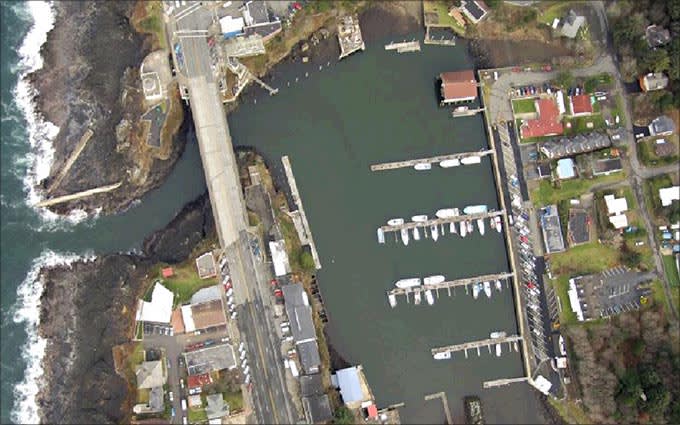
Aerial Photography
Crystal clear aerial photography shows exceptional detail of many ports, harbors and marinas and is ideal when entering unfamiliar ports.
-
-

-
-
-
 ECHOMAP™ Ultra 122sv med GT54UHD-TM-givareSpecial Price €2694.73 Regular Price €3373.77
 -